Holiday in Frances 13 - Col du Lautaret
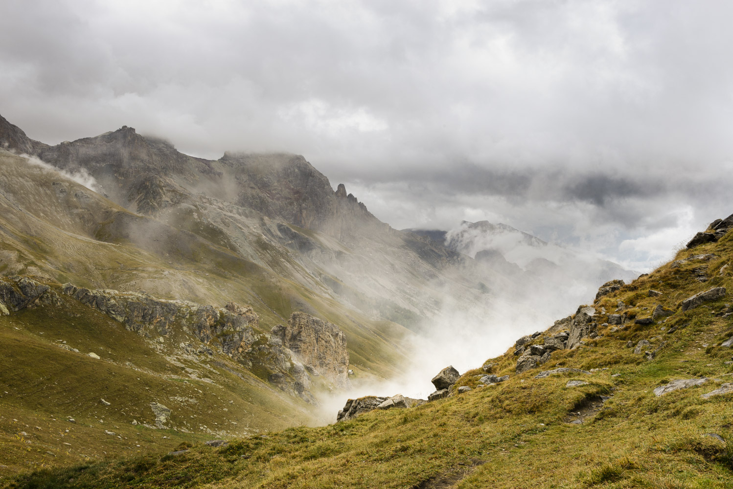
We drove down from the Col du Galibier through mist but as we got lower the clouds cleared and we could see that we were descending into the bowl of a broad valley flanked by mountains. This was the Col du Lautaret (2058m) where the road divides, going towards Briancon or La Grave. The Col du Galibier is the boundary between Savoie and the Hautes Alpes départements.
We stopped on the way down from Galibier for a short walk and to observe some marmots running round the rocks. They were too far away to photograph but we did catch them at another location later in the trip. At the Col du Lautaret itself is a restaurant and 2 exceedingly large car parks, where we stopped and explored the hills a little although the no dogs on footpaths rule still applied.
The backdrop to many of the pictures is the magnificent rocky face of La Meije (3,983m) with its crags and glaciers. This lies in the Écrins chain of mountains and dominates the area. It was the last major peak in the Alps to be climbed by man, in 1877
Towards lunchtime we took the road towards la Grave, a detour from the Routes des Grandes Alpes, but Alan wished to cycle the Alpe D'Huez road in les Deux Alpes ski area.
Again apologies for the number of pictures appearing here.


Comments
Post a Comment